
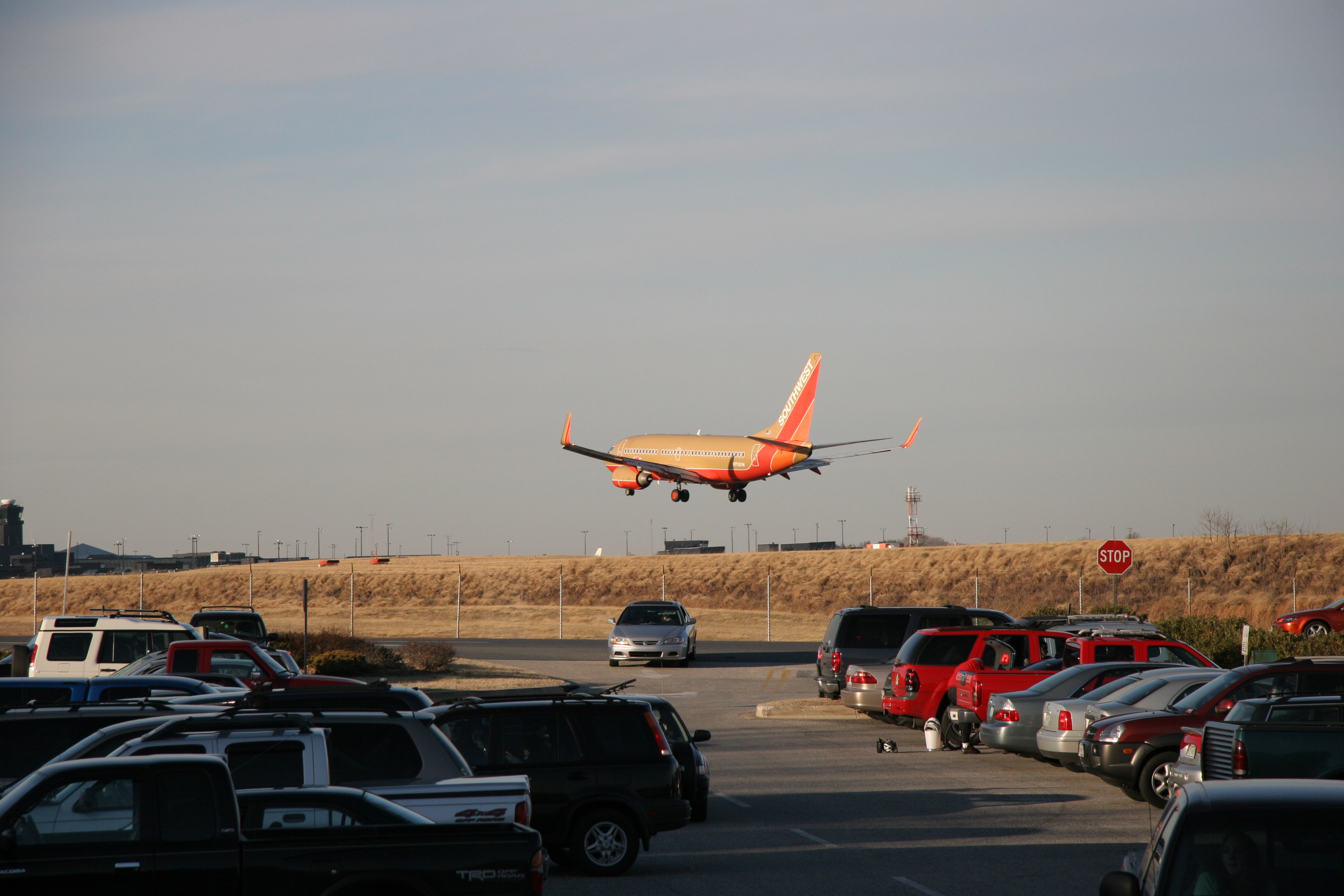
It has many different mileage reports, depending on the path taken. Last night after work I had to pick up my fiance from volleyball a few miles north of BWI. I had about an hour to get the trail done, but with the higher end of mileage quotes being 13 miles, I figured it would be easy enough. I parked at the Thomas Dixon Aircraft Observation Park (P1 on the map). This is a great place to see the aircraft take off and land. Unfortunately my time restraints didn't let me wait around and catch a plane, but this is from another person...
So I took off from here heading counterclockwise at the suggestion of a coworker. It felt great to be on my new Fuji, and I spent a lot of time shifting flawlessly through the gears. It was a very slick ride. Going counterclockwise, you quickly enter into a wooded area which was great to shield some of the summer rays.


A nice older man and I had a quick chat before I took off again along a nice winding downhill path. This was my maximum speed for the day, topping out at 26.3 mph, a new record for myself.
I made my way down some more hills, across some roads, then came across a long wooden bridge. It went across some marshland.
| From Biking the Bay |


I checked the cell phone and saw I was running a bit behind schedule, so I took off. Unfortunately, I made a wrong turn when I got to Stoney Run Road.

Instead of making a left hand turn (coming from the north), I made a right. I would have realized my mistake sooner if there were not Bike Trail signs lining the road. It wasn't until I got all the way to Linda Road before I stopped and asked somebody for directions. Apparently the signs I was following were to Patapsco State Park, another great place to bike. I turned around, made it back to the bridge, and made it succesfully back to the car. Took just over an hour for the 14 miles and I got to pick up the lady just as her games were finishing.

No comments:
Post a Comment